

UAV/Drone & Aerial Survey Inspection
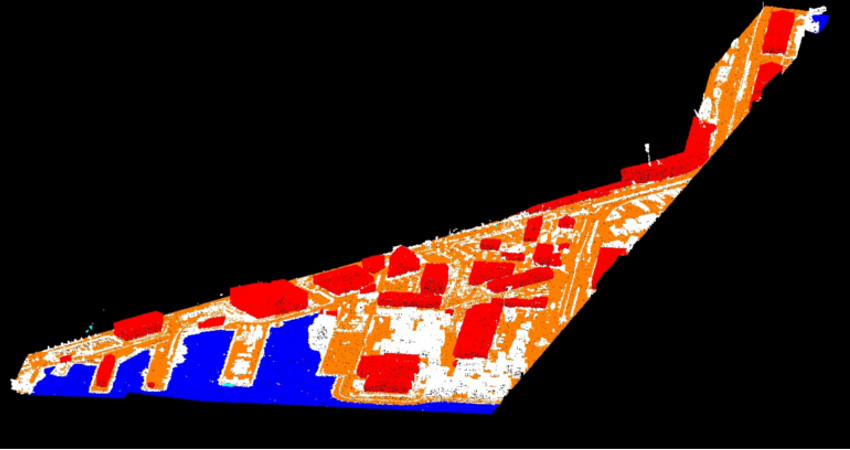
The Unmanned Aerial vehicles (UAVs) or UAS (Unmanned Aircraft System) mounted with digital cameras, films high-resolution aerial imagery which can be further processed to produce highly precise orthophotos, point clouds, DTM/DEM, 3D models and contour and This technique rapidly popular due to the fact that the services are rapid, accurate and cost effective on site surveying, mapping tasks, materials auditing on a regular basis this valuable information can lead to better decision-making.
In order to provide end-to-end support with respect to UAV image interpretation, we are entered into strategic tie-ups with various organizations that are competent in flying UAVs. The direct and reliable collection of high-resolution aerial imagery and a diversity of image processing options give everyday users and GIS specialists the ability gather aerial imagery faster, more precisely and more gainfully than satellites, manned aircraft or ground-based measurements. The data and imagery collected enables users to create high resolution 2D ortho mosaics and maps, 3D Models and surface models, and other GIS datasets.
UAV Components
-
Ground control station
-
GPS
-
Inertial measurement unit - IMU
-
Digital camera
-
Remote control (RC) transmitter
Core Application of UAV/Drones is as follows:
1. Mapping and Inspection
UAV are globally used by mining company for rapid, accurate and cost-effective on-site surveying, mapping tasks, materials auditing on a regular basis this valuable information can lead to better decision-making. The data acquired by this system are used for volumetric calculation, exploration and feasibility studies, ore extraction, mine closure and landscape restoration.
UAV are globally used by Agricultures sector for accurate and cost-effective on-site surveying, mapping tasks and optimized use of sensors, robotics to bring big data to precision agriculture.
2. Agricultures and Crop Analysis
Drones/UAV are globally used by Agricultures sector for accurate and cost effective on site surveying, mapping tasks and The use of sensors, robotics to bring big data to precision agriculture.
The collected data are used for crop analysis like:
-
Calculating the total plant
-
Assessing plant health
-
Increase yield and reduce crop damage