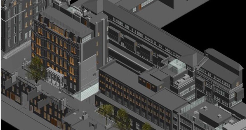
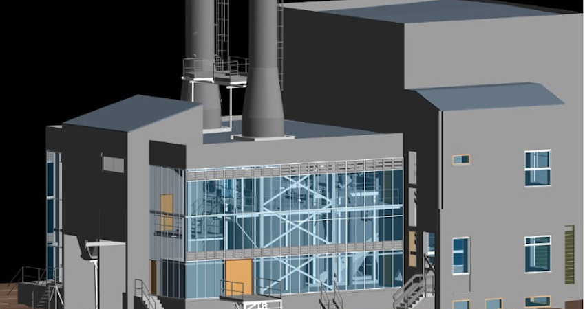
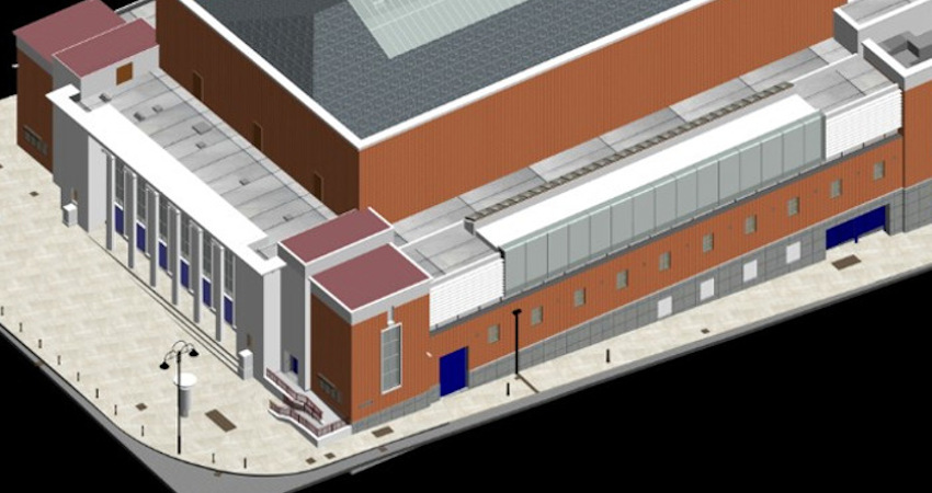
Point Cloud to Revit
Geocentroid Pvt Ltd Services are leaders in gathering and transforming all the surveyed information to a 3D Revit model. Using 3D laser scanning, digital photography and 2D plans combined with any other survey data, we can produce 3D models for any specific requirements. Whether you require a BIM model or any other purpose our highly skilled team will help to choose the right service for your project.
Features and Benefits
-
Efficiently represents surface of surveyed objects
-
Building Information Modelling - compatible model
-
All surfaces can be visibly outlined in 3D wireframe model
-
True appearance of objects by combined digital photo with Revit model