Aerial Photogrammetry
GeoCentroid’s Photogrammetry team utilizes large-format digital imagery and ground coordinate information to effectively recreate the geometry of a portion of the earth in a virtual environment. In this virtual environment, reliable horizontal and vertical measurements can be made and recorded (or compiled) directly into a CAD and then to geospatial data file.
Terrestrial Photogrammetry
In this type, the photographs are taken from elevated ground stations. Further development of these photographs will take into account the elevations of camera and tilt of the axis of photograph. This method is very similar to previous one except that the camera is in stationary position.
We, at GeoCentroid, have the expertise and skills in providing services as follows:
-
Aerial Triangulation & Adjustment
-
Stereo-Compilation
-
Digital elevation/Surface Model (DEM /DTM)
-
Contour mapping and Cross-Sections
-
Topographic and Cadastral mapping
-
Topographical Mapping ( 1:500) scale
-
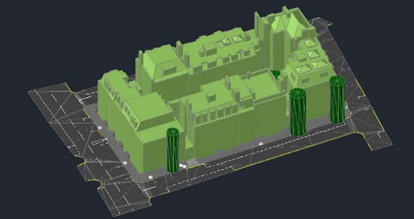
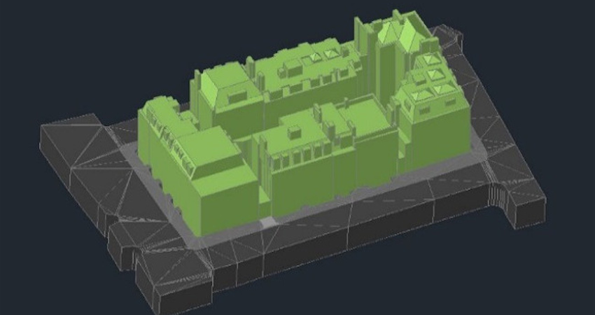
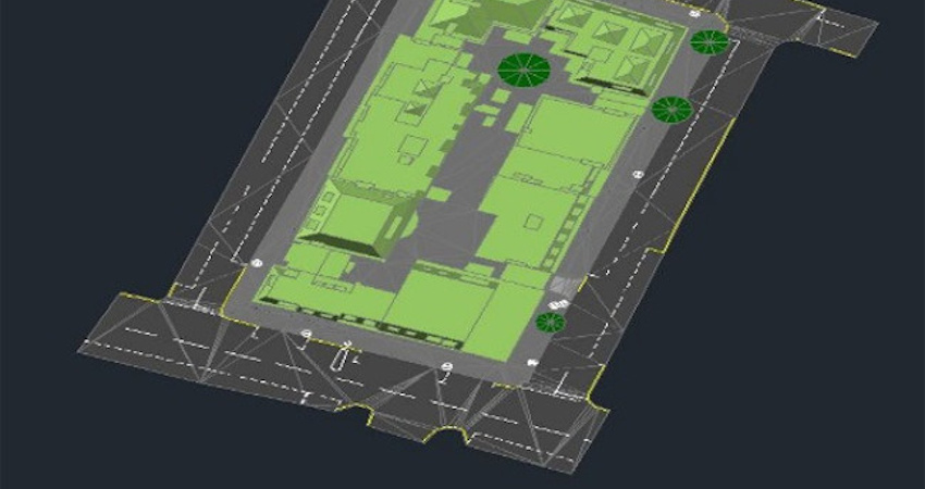
3D Building and Structure Modeling
-
Airport mapping
-
3D planimetric feature extraction
-
Land use/Parcel Mapping
-
Orthorectification
-
QA/QC Analysis