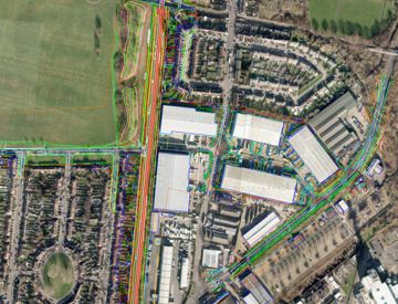
Geospatial & Remote Sensing
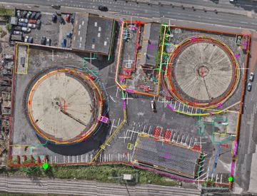
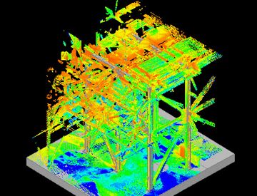
01 LiDAR Engineering
02 LiDAR Mobile Mapping
03 Photogrammetry
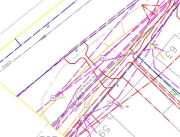
04 Utiltiy Survey & Mapping
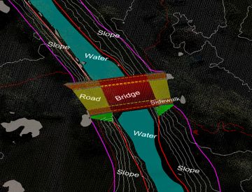
Scan to BIM & 3D Laser Scanning
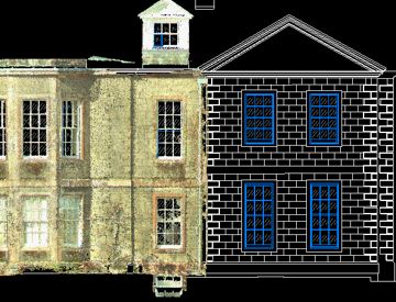
01 Measure Building Surveys
02 Scan to Revit
03 Scan to CAD
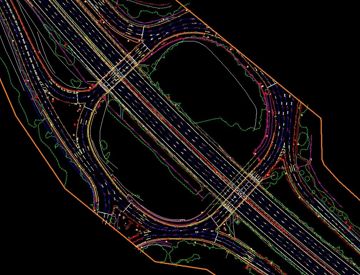
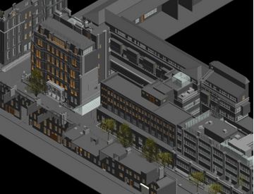
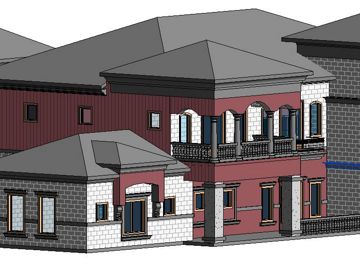
BIM Services & Modelling
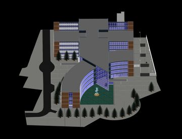
01 BIM and 3D Modelling
02 PDF to BIM
UAV/Drone - Aerial Survey & Inspection