
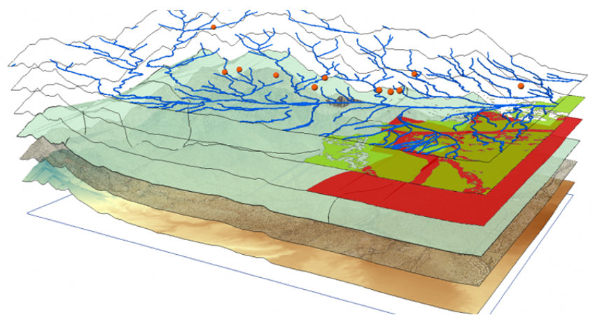
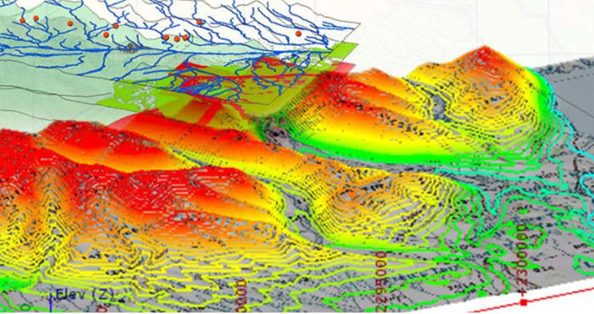
GIS Mapping and consulting
Geographic Information Systems(GIS) team utilize the computer-based tool that analyses, stores, manipulates and visualizes geographic information on a map and displaying data related to positions on Earth's surface.
We, at GeoCentroid, have the expertise and skills in providing services as follows:
-
Mapping from aerial and satellite images
-
Mapping from toposheets
-
CAD digitization, and placing texts in maps
-
Asset data mapping and Management