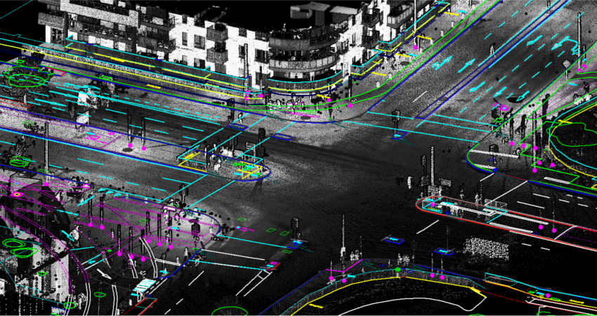
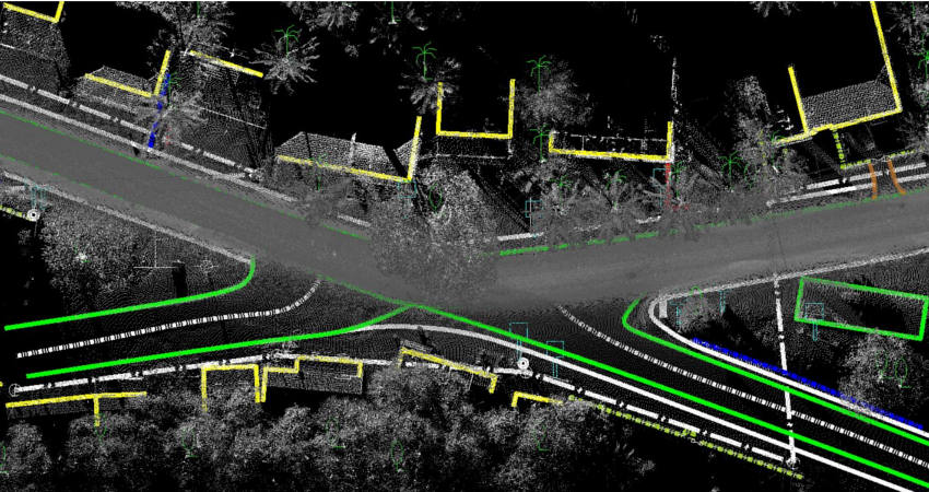
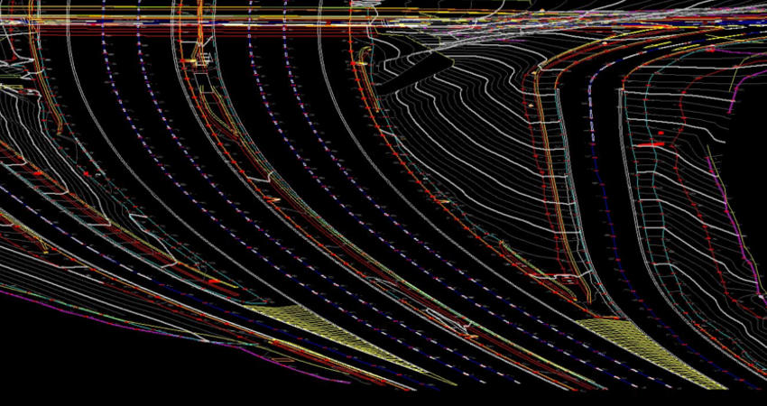
LiDAR Mobile Mapping
Mobile LiDAR is an innovative mapping solution that incorporates the most advanced Lidar sensors, cameras and position/navigation to collect survey-quality point data quickly and accurately.
GeoCentroid’s Mobile Mapping team have experience in provides data processing, classification and Mapping services using 3D point cloud. We are mainly focused on delivering high quality data services with cost effective way and build long term business relationship with the client to ensure this have several stages of QC/QA process followed before data delivery.
We, at GeoCentroid, have the expertise and skills in providing services as follows:
-
Topographical Mapping
-
Road and highway infrastructure Mapping
-
As-Built Drawing
-
Classification of Bare Earth and vegetation, buildings, bridges
-
DTM, DSM and Contour generation
-
Asset management
-
Rail infrastructure and asset management
-
3D modelling and 3D Feature extraction